


Last updated on 2025-11-05
Distance: approx. 1.8 km
Elevation change: approx. +10 m / –160 m
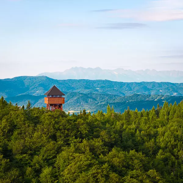
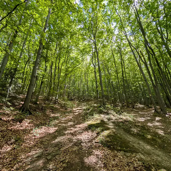
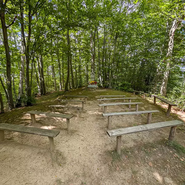
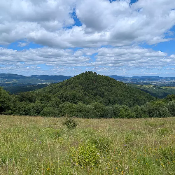
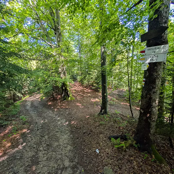
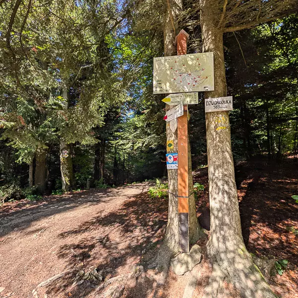
We start the walk on the summit clearing of Modyń, next to the observation tower. From the top, we follow the combined yellow and blue trails. After a few hundred meters of gentle descent, we reach a junction where the blue trail turns left. We continue right, following only the yellow signs. The path leads gently along a wide ridge until we reach the summit of Mała Modyń (988 m a.s.l.).
Distance: approx. 5.5 km
Elevation change: approx. +30 m / –400 m
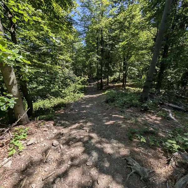
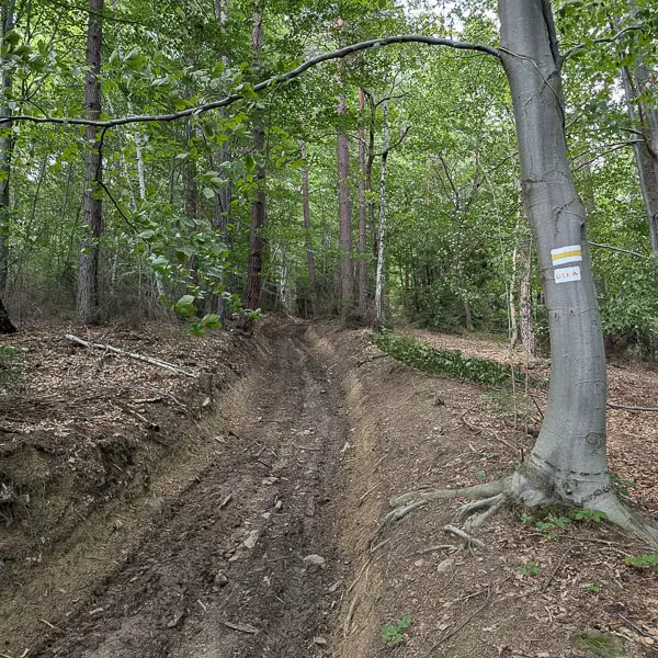
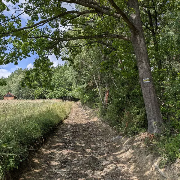
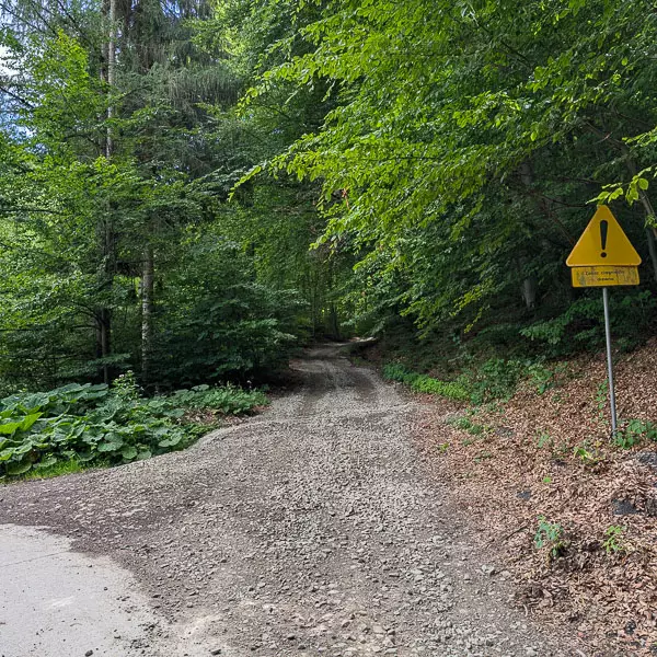
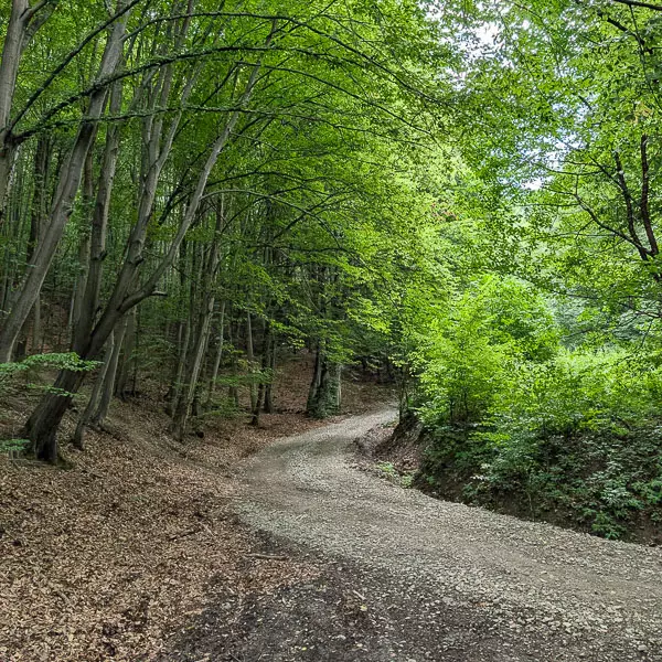
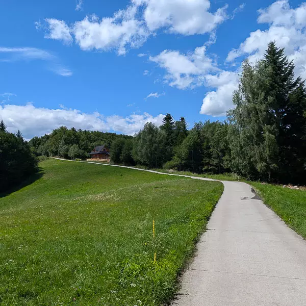
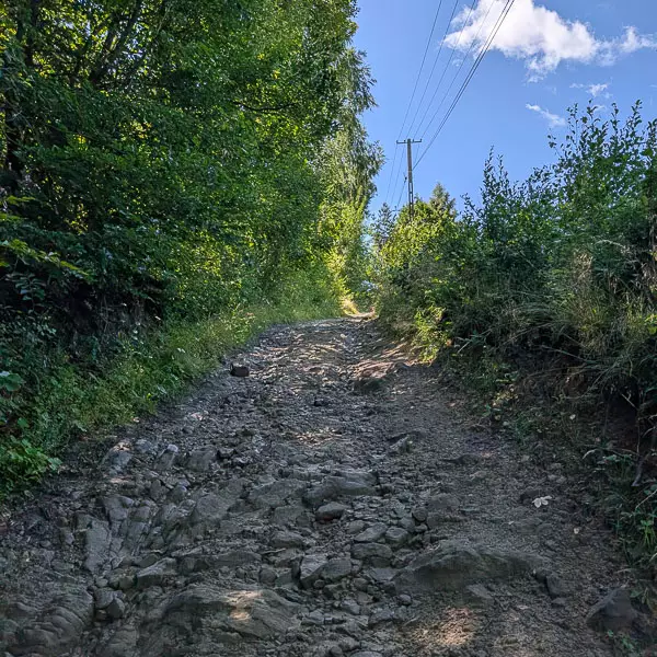
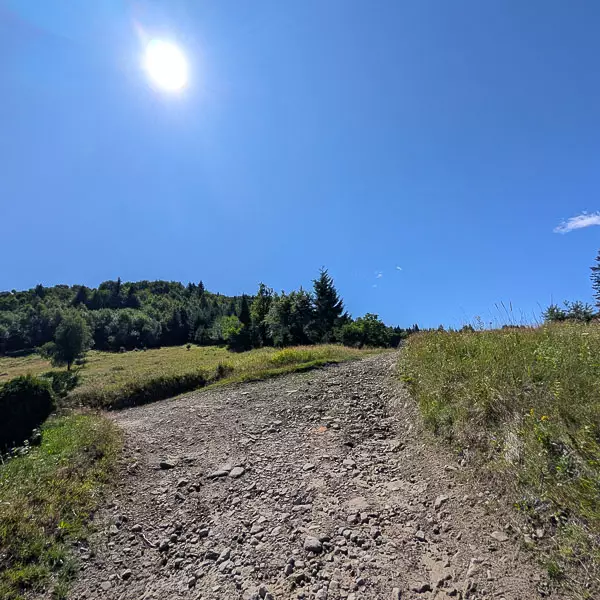
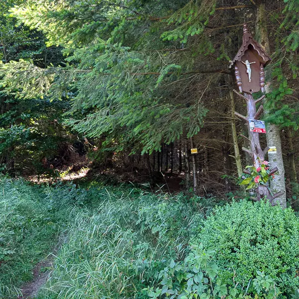
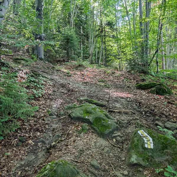
From the top of Mała Modyń, following the yellow trail, we begin a long and at times steep descent along a rocky path. It leads down the southeastern ridge of Modyń, passing near the high hamlets of Bukówki, Sośnia, and Kramarzówka. We continue descending through the forest until the path joins an asphalt road at its edge.
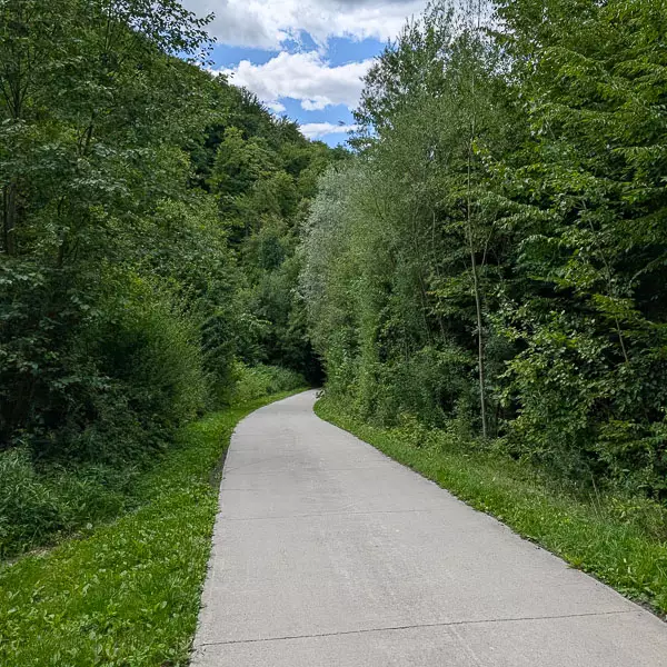
Distance: approx. 2.7 km
Elevation change: approx. –82 m
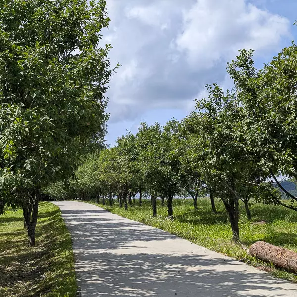
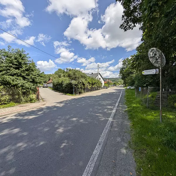
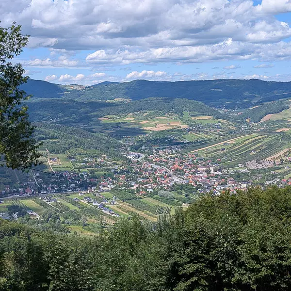
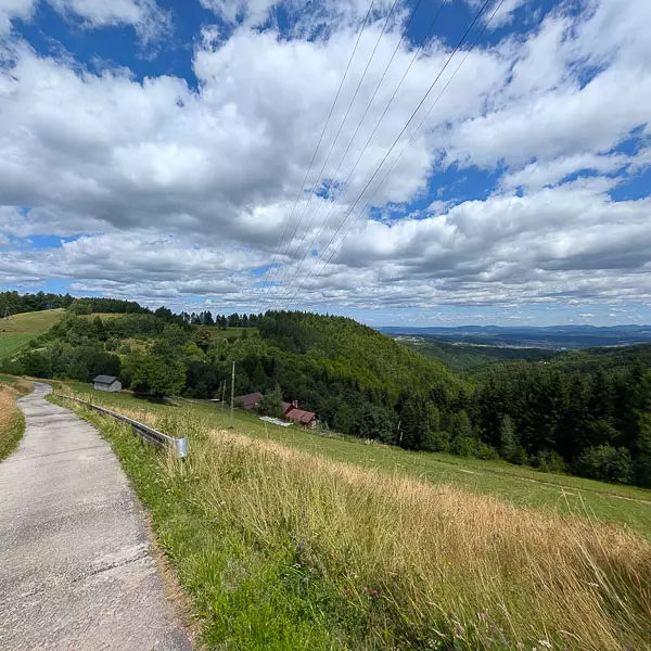
Standing at the forest edge, we continue for about 300 meters along a dirt road, then join the asphalt road heading toward Łącko. We follow the yellow trail for about 2.4 km through scattered houses and orchards. The road leads us directly to the center of the village, the market square in Łącko, where we end our hike.

-2025-08-29-10-44-55.svg)
-2025-08-29-10-44-55.svg)
-2025-09-16-09-47-54.webp)